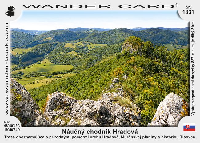
SK-1331 Hradová Educational Trail
Trail which acquaints visitors with the natural conditions of Mount Hradová, the Muránská planina and the history of Tisovec. The winding ascent to a height of 887 m above sea level is 3 km long.
Price:
0.80 €
0.80 €

Selling points
Nearby Wander Cards
1,4 km

