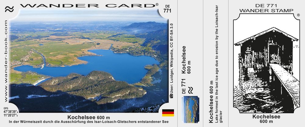
Kochelsee (Lake Kochel)
Lake formed in the last ice age due to erosion by the Loisach-Isar glacier. Maximum depth 65.9 m, with water area 5.95 km2.
Price:
0.60 €
0.60 €

Selling points
Nearby Wander Cards
14,3 km
25,8 km
29,6 km
33,2 km
36,1 km
Lake formed in the last ice age due to erosion by the Loisach-Isar glacier. Maximum depth 65.9 m, with water area 5.95 km2.
